liquidspeed
Member
The SPC has issued an MDT risk for severe weather with a significant likely hood of large, violent, long tracked tornadoes in Missouri,extreme eastern Texas,extreme eastern Kansas,Arkansas, extreme western Tennessee, and extreme northwestern Mississippi
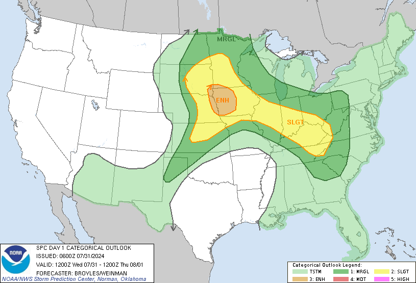
Overall Severe probability - Probabilities of Severe events within 25 miles of any point in the region bounded by a given contour
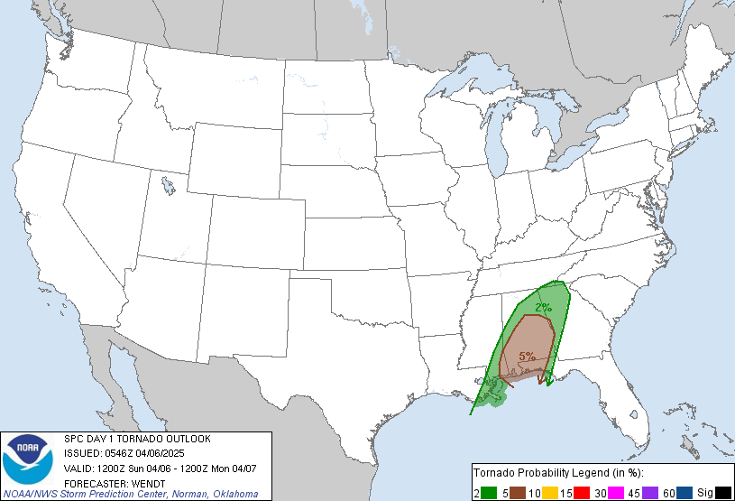
Tornado probability
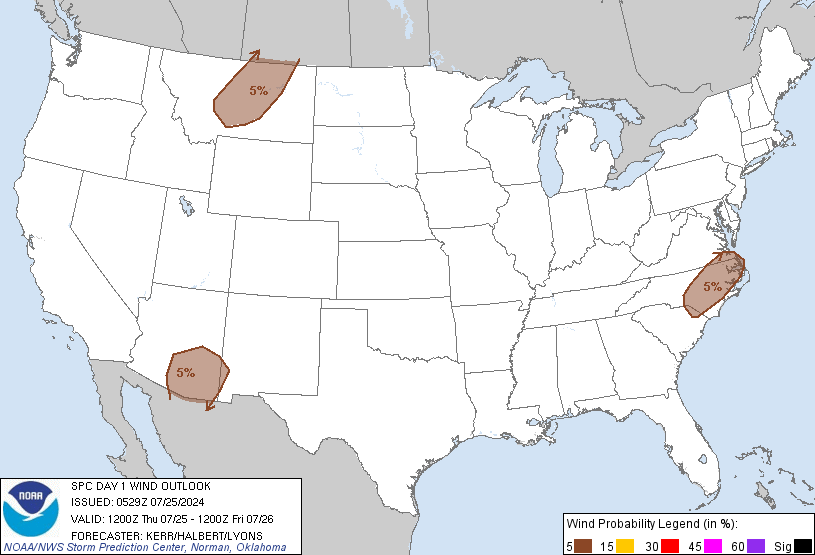
High Wind probability
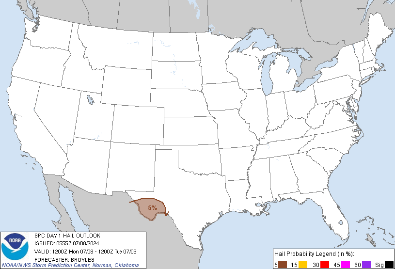
Hail Probability
http://www.spc.noaa.gov/products/outlook/day1otlk.html
Overall Severe probability - Probabilities of Severe events within 25 miles of any point in the region bounded by a given contour

Tornado probability

High Wind probability

Hail Probability

http://www.spc.noaa.gov/products/outlook/day1otlk.html
Storm Prediction Center said:THERE IS A MDT RISK OF SVR TSTMS FROM EXTREME ERN KS...ERN
OK...MUCH OF MO...AR...EXTREME NERN TX...WRN TN AND NWRN MS...
A PORTION OF THE LOWER MS VALLEY MAY NEED TO BE INCLUDED IN A HIGH RISK IN LATER UPDATES.
...THERE IS A SLGT RISK OF SVR TSTMS OVER ERN PORTIONS OF THE CNTRL
AND SRN PLAINS THROUGH MUCH OF THE LOWER-MID MS VALLEY AND WRN TN VALLEY..."
SUMMARY...
NUMEROUS SEVERE STORMS WITH POTENTIAL FOR STRONG TORNADOES...VERY LARGE HAIL AND DAMAGING WIND ARE LIKELY ACROSS MUCH OF THE MISSISSIPPI RIVER VALLEY...WITH THE GREATEST THREAT FROM THE ARK-LA-TEX INTO ARKANSAS...WESTERN TENNESSEE AND WESTERN AND CENTRAL MISSOURI AND ERN KS. A SECONDARY THREAT AREA WILL BE FROM EASTERN NEBRASKA INTO IOWA...AND STORMS DEVELOPING IN THIS REGION DURING THE DAY WILL ALSO LIKELY PRODUCE LARGE HAIL AND SEVERAL TORNADOES.
..NEB AND IA...
VEERING LOW-LEVEL WINDS WITH LARGE 0-2 KM HODOGRAPHS AND
50 KT EFFECTIVE SHEAR WILL SUPPORT SUPERCELLS WITH TORNADOES AND
LARGE HAIL AS ACTIVITY DEVELOPS NWD. MODERATE RISK MIGHT BE EXPANDED FARTHER NW TO INCLUDE A PORTION OF THIS AREA ON NEXT UPDATE.

