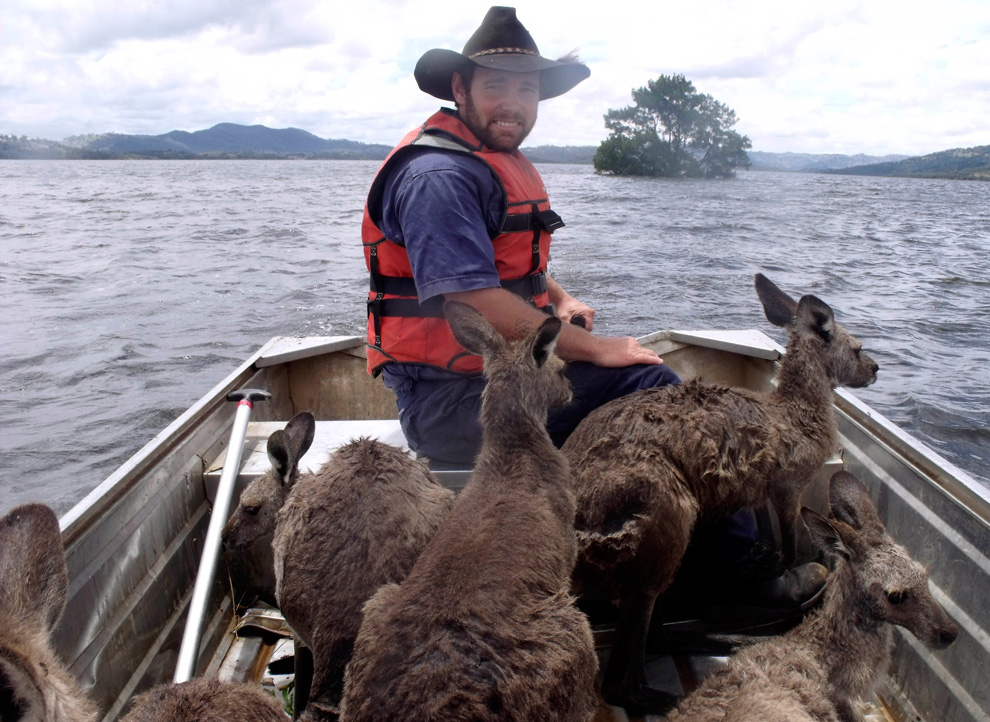
For those non-Queenslanders/non-Australians having a hard time visualising the scale of the floods, this
interactive map infographic does a good job of showing the range of areas hit and their impact.
Compared to other continents, Australia is topographically flat. What Europeans and North Americans would call a hill, we'd happily call a mountain. It doesn't take much of a rain for fluvial systems to burst their banks, and when they break, the extent of the flood is usually widespread as there are relatively few topographical lows for the water to collect in. So in central Queensland, or anywhere west of the Great Dividing Range, they experience floods that take out thousands of acres of land.
Have a look at a
map like this, and you'll see the extent of towns hit by flooding - areas that are predominantly land for pasture or agriculture. That's a lot of livelihoods directly affected, as well as the flow-on effect for those in metro areas who need their product. Food prices are set to double and everyone will be affected by this.