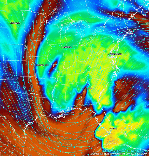
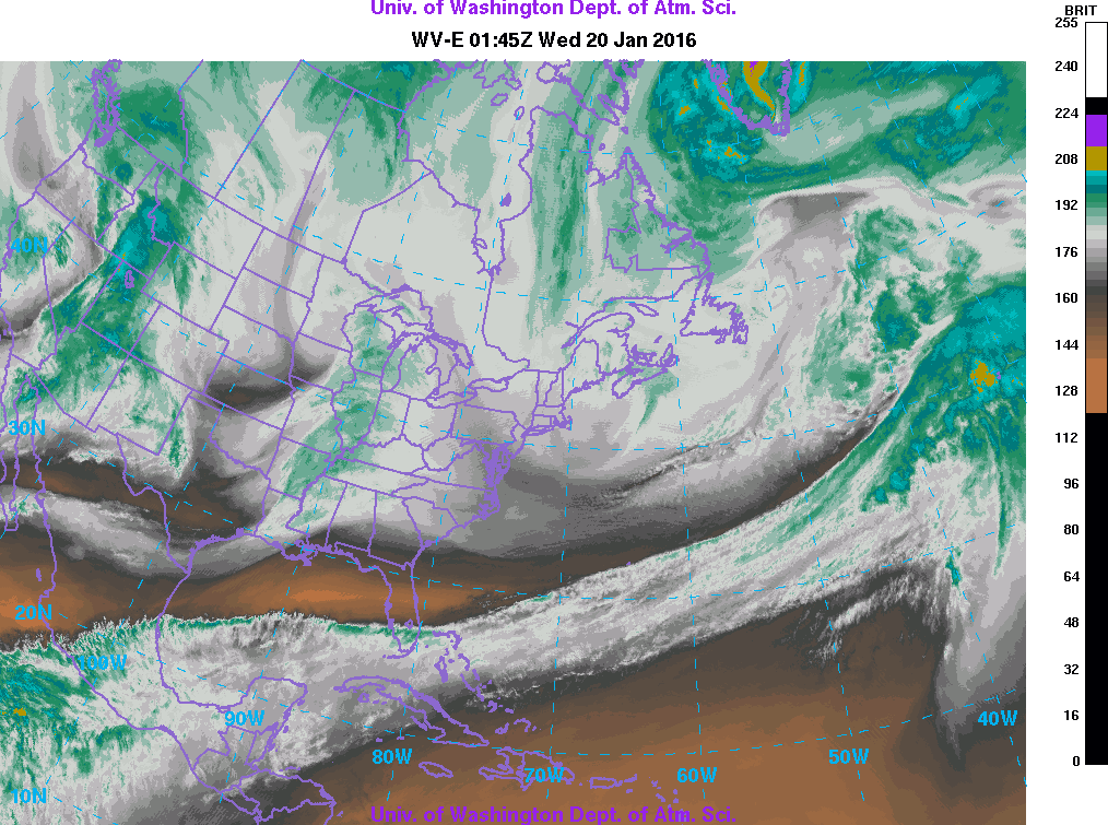
If you look below (it's kind of difficult to see) the confluence (dry air that would block the storm's northward advancement for NYC and north) is already pushing off the coast of Maine at out to sea by the end of the clip. This storm is going to move further north than what the models have projected the last few days. Expect a 1 foot + for the NYC metro. DC and Philly still do historically well, but they may be in a dry slot sometime tomorrow afternoon. Central New Jersey could do as well as DC and Philly. Connecticut could see up to a foot.
I'm just waking up and waiting on the EURO run, but if that trends NW like the GFS did, I am very certain of this coming further north than forecasted by the models.


")