Google maps just started implementing satellite views...now you can get a satellite map of a route, which i bet would be useful for deciding alternate routes based on potential traffic, terrain, etc. or you can just use it to look at people's houses and find the best bushes to hide in when you're stalking them.
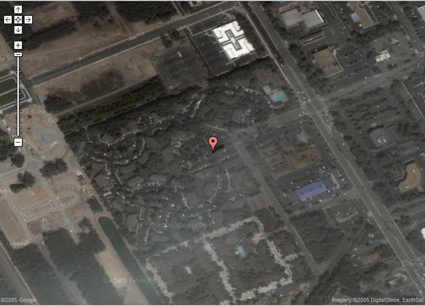
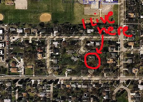
this is where i live
http://maps.google.com
click on the link that says "satellite" next to "maps" in the upper righthand corner.
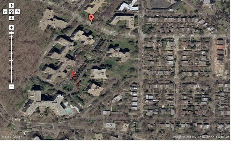
this is where i live
http://maps.google.com
click on the link that says "satellite" next to "maps" in the upper righthand corner.